
Wintry blast to hit southern half of Australia from today
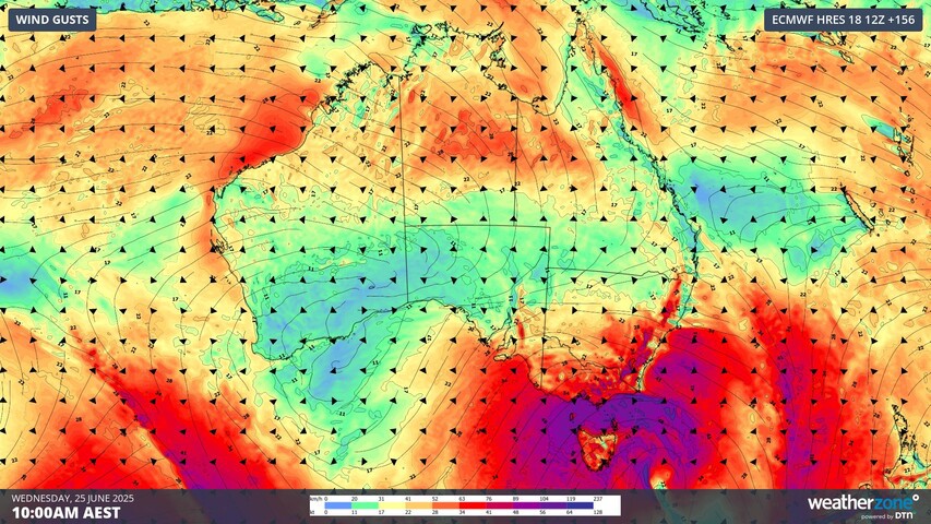
Australia's southern states and the west are in for a wintry cold blast over the next week, with intense winds, rain, and even snow on the horizon.
A complex low-pressure system will pass over Australia's south from today, and it's expected to stick around until mid-next week.
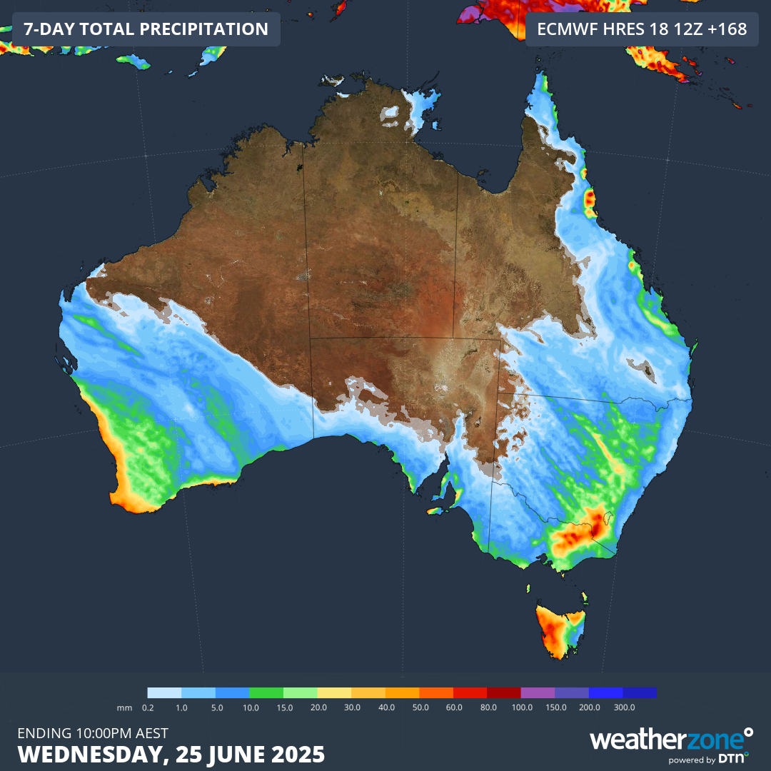
Western Australia will cop the first of the system's wintry blast, bringing rain and thunderstorms to the state today and tomorrow.
READ MORE: Man gets Mercedes stuck on world-famous Roman landmark

Perth and other parts of the state can expect 20mm to 50mm of rain across the two days.
Lighter rainfall will extend further inland towards the Gascoyne and Pilbara districts.
The weather system will then move southeast and east between Sunday and Wednesday.
It will bring similar conditions, including rain and wind, to parts of Queensland, New South Wales and Victoria.
Adelaide will reach a maximum temperature of 22 degrees on Sunday, dropping to 15 degrees on Tuesday.
READ MORE: Trump makes Iran attack deadline public
Sydney could reach the low to mid-20s on Tuesday, dropping to 18 degrees on Wednesday.
On Tuesday, the Murray-Darling Basin will see widespread rain as a surge of pre-frontal moisture moves over the region.
Some of the precipitation will fall as snow and hail over the southern regions.
The wintry blast will be brief, with relatively warm weather following the front the week after.
Severe weather warnings are expected to be issued ahead of the front.